|
|
|
|
|
|
|
|
Jump directly to ... Start Armacao de Pera - between FARO and LAGOS Click here for a map !
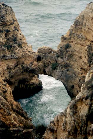
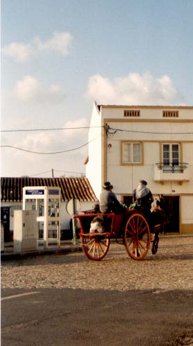
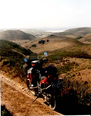
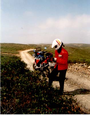
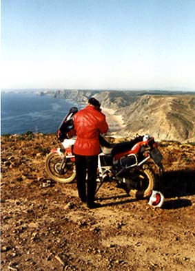
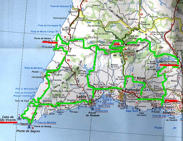
Along the coast is a central street (N125). Where is a lot of chaotic traffic. At a lot of small roads you can reach the coast.(sand or rocks). Near PORTIMAO is a small road to SILVES. At SILVES you can go east to the SIERRA DE MONCHIQUE to the highest point of the ALGARVE, the mountain FOIA (902m). Where is a good road in fine conditions with lots of curves, but there is also the chance to make it Offroad (a small way starts near MONCHIQUE). At CALDAS DE MONCHIQUE a small road with lots of curves goes through MARMELETE to ALJEZUR to the Atlantic coast. At this road you can find a lot of chances to find some small Offroad sections. (just try - there is always a way out). East of SILVES a small road brings you to SAO BARTOLOMEU DES MESSINES. There you reach a small lake, the BARRAGEM DO ARADE. At the dam up you can follow diverse dirt tracks and make a few kilometres through the hills. Specially at the West coast are many ways to follow the coastline on sand tracks. In direction FARO the land is more flat, but a few kilometres inside are many changes to find Offroad conditions. Especially in the SIERRA DO CALDEIRAO. Almost near the coast; Prices are very different.
Some hints
Sights
WWW Links Pictures Pictures of Portugal / Algarve
Pictures-Count: 9
|
